The storm is set to hit Newfoundland and then do a bizarre transformation into a major snowmaker for Greenland.
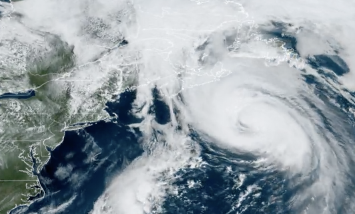
Sorry, Larry, but you are definitely a hurricane here.Gif: NOAA/CIRA
Whom amongst us hasn’t dreamt of being something they’re not. Me, personally, I dream about quitting journalism to open a coffee roastery in a mountain town where I can sling joe in the morning and get a couple of laps in the afternoon. Maybe I’d even close the shop for an hour on mornings with fresh powder. Summers floating down the river. Long hikes.
Sorry, where were we? Ah, right. It turns out even hurricanes can dare to dream. Hurricane Larry, a formidably large storm current chugging in the Atlantic, has dreams, too. Dreams of being a blizzard. And unlike myself, toiling at a desk in New York, Larry is on its way to making those dreams reality.
The storm formed in the middle of the Atlantic earlier this week and is only now posing a threat to land. Larry is forecast to clip Newfoundland, Canada, a location that rarely sees actual hurricanes make landfall. After that, the storm will head even farther north and bring snow measured in feet to Greenland, making Larry a meteorological oddity.
Hurricane Larry is currently a Category 1 storm with winds of 80 mph (130 kph). It’s expected to maintain that strength as it approaches Newfoundland, an island in Atlantic Canada, on Friday night. Hurricane warnings are up for the southeast tip of the island with tropical storm warnings extending to points farther west and north. Larry has a pretty monstrous windfield, with tropical storm-force winds reaching 240 miles (390 kilometers) from its core. That creates a large fetch, allowing Larry to scoop up water and push it northward, which is why the National Hurricane Center is warning of “dangerous storm surge [that] is expected to produce coastal flooding.” Larry is also currently producing dangerous swells in parts of the Northeast U.S. and Atlantic Canada, and Environment Canada is warning of waves as high as 45 feet (14 meters) “breaking upon the shore.”
If Larry makes landfall, it will be the first time in a decade that a hurricane has hit the island. The last was Hurricane Maria in 2011 (not the deadly 2017 version), which hit as a Category 1 storm. Newfoundland sees a fair number of extratropical cyclones that are the remnants of hurricanes that have taken on different meteorological characteristics, the most prominent of which is having a cold core. (Hurricanes and tropical storms have a warm one.)
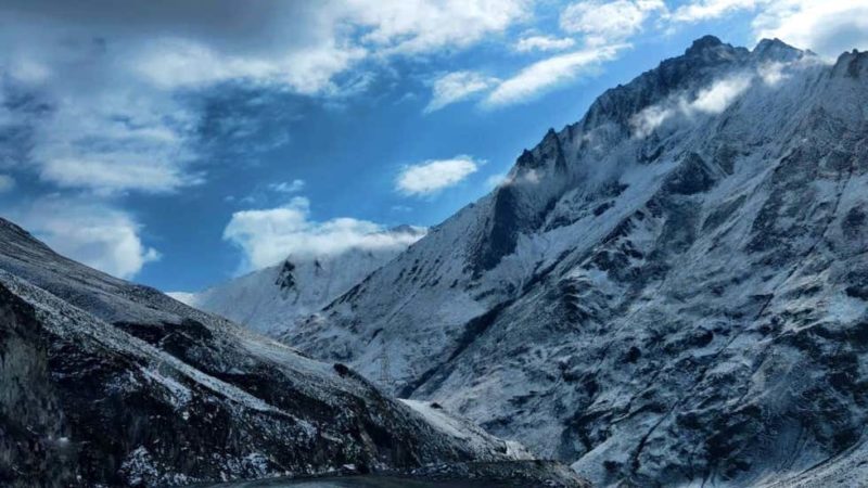
Larry will do the extratropical shuffle after passing by Newfoundland, and add yet another trick to its repertoire: snow. The storm will keep going north and, in the words of the NHC, is “expected to merge with a large extratropical low over the Labrador Sea on Sunday.” That extra zap of atmospheric energy will give Larry renewed power to bring heavy snow to Greenland as it passes by the island. Snowfall totals could reach an astounding 3 to 5 feet (1 to 2 meters) on the southeastern part of the island.
Call it Blizzicane Larry, Tropical Snowstorm Larry, or some other mashup guaranteed to make meteorologists hate you. Or, perhaps, you could simply call it inspiration.


